IRN Groundwater induced flooding
The IRN - Groundwater Induced Flooding dataset corresponds to the localization of areas where there is a high probability of observing groundwater overflow or at least basement flooding. This dataset covers mainland France and Corsica.
Area covered in Earth Engine
Metropolitan area of France
Code Sample
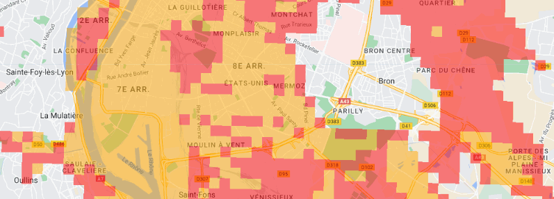
// Import the dataset.
var irn = ee.FeatureCollection("projects/ee-france/assets/BRGM/GEOR/IRN");

// Define a location of interest.
var lon = 5.04855;
var lat =  45.73616;
var poi = ee.Geometry.Point(lon, lat);

// Paint the dataset with appropriate palette.
var empty = ee.Image().byte();
var coloredRpg = empty.paint({
  featureCollection: irn,
  color: 'gridcode',
});

var palette = ["orange", "red"]

Map.setCenter(lon, lat, 12);
Map.addLayer(coloredRpg, {palette: palette, min:1, max:2, opacity:0.5}, 'IRN');
Data producer
Licence
Etalab Open License 2.0
Implementation in Earth Engine
Currated in Earth Engine by Guillaume Attard & Julien Bardonnet