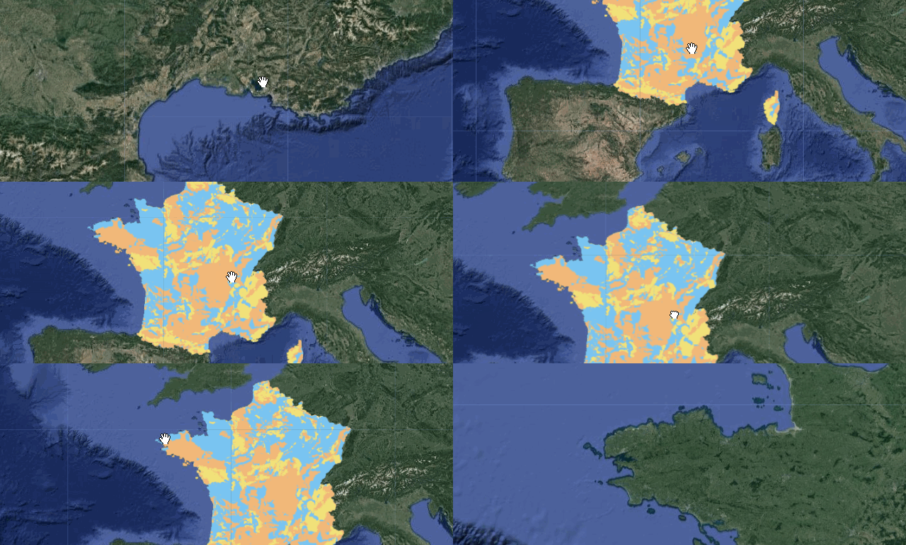
BDLISA version 2: the french hydrogeological referential
BDLISA is a referential of the French Water Information System. This dataset classifies the subsoil into hydrogeological entities which are described according to different properties: aquifer or impermeable, free or captive flows, porous, fractured, karstic environment.
BDLISA version 2 has been released in february 2018.
Available BDLISA assets in Earth Engine
| Zone | Code | EN3-EXT | EN2-EXT | EN1-EXT | EN3-ORD | EN2-ORD | EN1-ORD | EN-COMP | POLY | ALT | KARST |
|---|---|---|---|---|---|---|---|---|---|---|---|
| France metro. | FXX | X | X | X | X | X | X | X | X | X | X |
| Guadeloupe | GUA | X | X | X | X | X | X | X | |||
| La Réunion | REU | X | X | X | X | X | X | X | X | ||
| Martinique | MAR | X | X | X | X | X | X | X | X | ||
| Guyane | GUY | X | X | X | X | X | X | X | X | ||
| Mayotte | MAY | X | X | X | X | X | X | X | X |
For layer codes correspondences (EN3-EXT, EN2-ORD, etc.) see the offical dataset description or visit the official dataset website.
Area covered in Earth Engine
All France
Code Sample
// Import local groundwater bodies (level3) covering France Metro.
var table = ee.FeatureCollection("projects/ee-france/assets/bdlisa/FXX/EN3-ORD")

// Select shallow mediums (level 1).
var bdlisa_n1 = table.filter(ee.Filter.eq('OrdreRelEH', 1));

// Paint FeatureCollection to an image using feature-specific style arguments.
// A dictionary of style properties per soil medium type.
var mediumStyles = ee.Dictionary({
  "0": {color: '#ffffff'}, //unknown
  "5": {color: '#79c5f2'}, //aquifer
  "6": {color: '#f2b879'}, //semi-permable
  "7": {color: '#f2e279'}, //impervious
});

// Add feature-specific style properties to each feature based on medium type.
bdlisa_n1 = bdlisa_n1.map(function(feature) {
  return feature.set('style', mediumStyles.get(feature.get('NatureEH')));
});

// Style the FeatureCollection according to each feature's "style" property.
var mediumVisCustom = bdlisa_n1.style({
  styleProperty: 'style'
});

//Define the location of interest.
var lon = 4.857504
var lat = 45.771938337373435
var poi = ee.Geometry.Point(lon, lat)

Map.setCenter(lon, lat, 10)
Map.addLayer(mediumVisCustom, null, 'Aquifer properties');

Data producer
Licence
Etalab Open License 2.0
Implementation in Earth Engine
Currated in Earth Engine by Guillaume Attard & Julien Bardonnet